QGIS / QGIS Server
Prepare thematic layers in QGIS and publish maps or geographic features through QGIS Server using WMS, WMTS and WFS services.

A coordinated operational view connects vehicles, planned stops, sample conditions and chain of custody while keeping field logistics tied to laboratory quality.
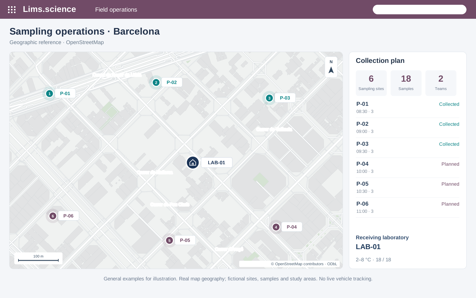
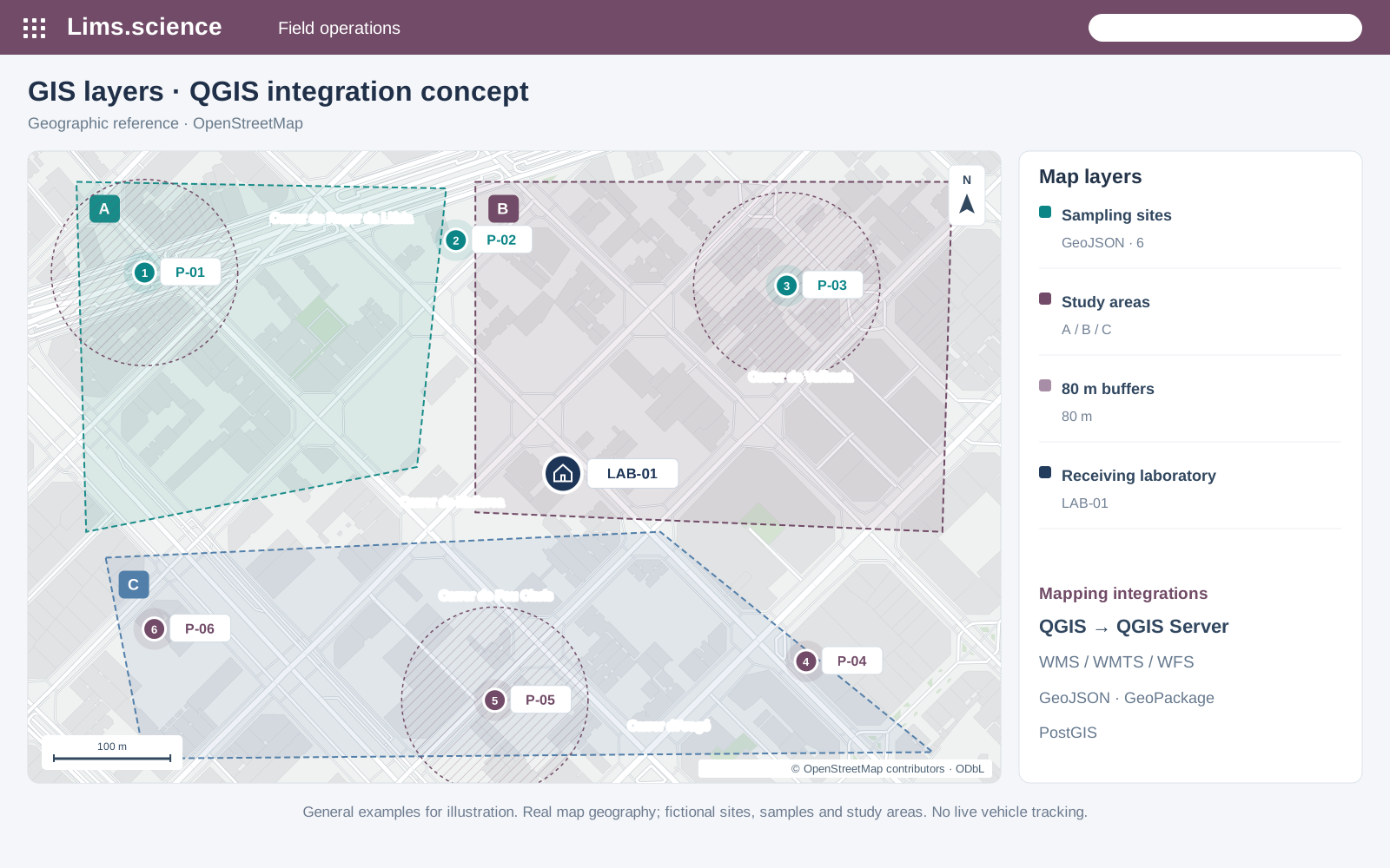
General examples for illustration. Real map geography; fictional sites, samples and study areas. No live vehicle tracking.
Connect field sampling to your GIS, geographic reference data and laboratory records. We define the mapping architecture around each project's operational needs.
Prepare thematic layers in QGIS and publish maps or geographic features through QGIS Server using WMS, WMTS and WFS services.
Use OpenStreetMap reference data with Leaflet or OpenLayers to display sampling sites, study areas and GeoJSON layers in a web interface.
Configure Google Maps Platform for mapping, geocoding and route estimates where required. API access, quotas and provider charges form part of the agreed scope.
Connect authorised ArcGIS feature services and existing organisational layers through the available APIs, with appropriate access controls.
Exchange geographic data through GeoJSON, GeoPackage or PostGIS, with agreed coordinate systems, identifiers and update rules.
Integration options are configured per project; they are not all enabled by default. Data rights, API access and validation are agreed during design.
© OpenStreetMap contributors · ODbL · QGIS Server · Leaflet · OpenLayers · Google Routes API · ArcGIS Feature Services
This pre-recorded sequence illustrates two fictional routes and seven fictional samples; it does not show customer activity or current vehicle locations.
This pre-recorded sequence illustrates two fictional routes and seven fictional samples; it does not show customer activity or current vehicle locations.
Organise collection stops, priorities and planned windows before vehicles leave the facility.
Record each handoff with the vehicle, responsible role, timestamp and barcode or RFID event.
Keep temperature range, container state and transport duration alongside every sample.
Compare planned stops with estimated arrival and highlight collections that require attention.
Turn delays, missing scans, broken seals or temperature excursions into reviewable quality events.
Preserve assignments, route changes, handoffs, alerts and receipt history with role and timestamp.
A late collection, missing custody scan, broken seal or temperature excursion can open a quality event linked to the route, affected samples and laboratory receipt.